 Milford Haven Maps
A selection of maps showing the main districts in Milford Haven. A key to symbols used in some of the maps is located near the bottom of this page.
A detailed map of the entire town can be downloaded using the link at the end of this page.
A detailed map of the entire town can be downloaded using the link at the end of this page.
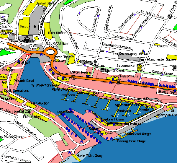
Map of Milford Haven Marina and Docks
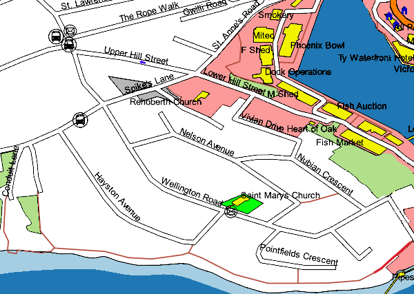
Map of Hakin
Map of Hakin Point
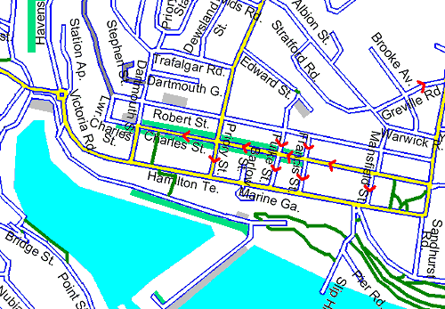
Map of Milford Haven Town Centre
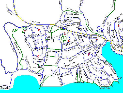
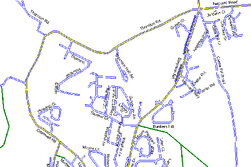
Map of Steynton
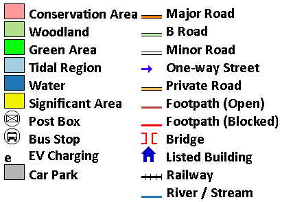
Key to Map Symbols
Map of Hakin
Map of Hakin Point
Map of Milford Haven Town Centre
Map of Steynton
Key to Map Symbols
The downloadable and Milford Waterfront maps include data from OS, OpenStreenMap, NaPTAN (OGL), CADW (OGL)and DigitalDan. (Credits/Acknowlegements located at foot of this page.)
Download Large Printable Map
Download a large, detailed map (approx. 6300x4300)(1.92Mb .gif) of Milford Haven - including Hakin, Gelliswick, Thornton, Steynton and Castle Pill.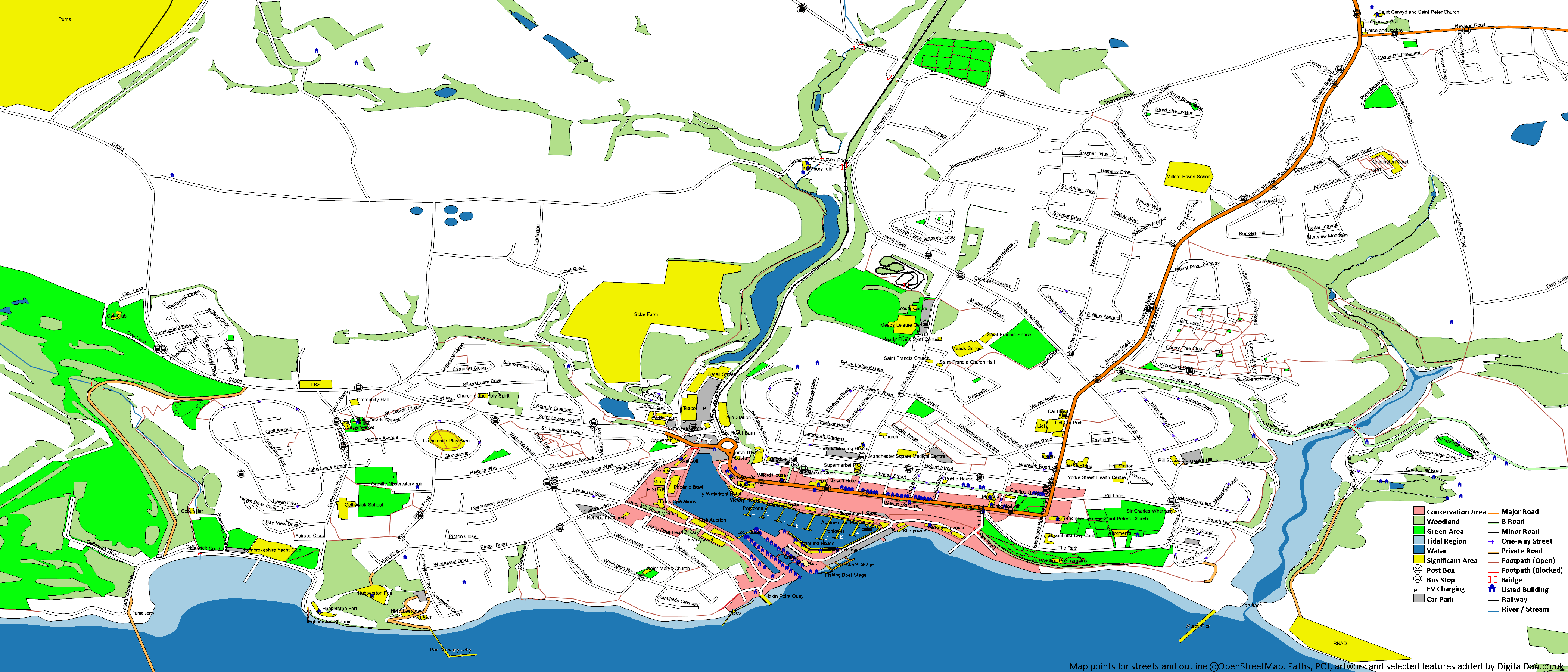
Download Map
Maps = Copyright Credits/Acknowledgements
- OS Open ZoomStack - Contains OS data © Crown Copyright 2025. Licenced under the Open Government Licence
- OpenStreetMap - CC-BY-SA Open Street Map Contributors
- NaPTAN - © Crown Copyright 2025. Licenced under the Open Government Licence v3.0 EV Charging Points - ONS data, © Crown Copyright. Licenced under the Open Government Licence, Contains OS data.
- Public Rights Of Way - Supplied by Pembrokeshire Council to rowmaps.com and released under the Open Government Licence 3.0
- Listed Buildings - © Crown Copyright (Cadw) 2024. Licenced under the Open Government Licence
DigitalDan.co.uk